- Home
- About Us
- Membership
- Education
- FSMPAC
- Sustaining Firms
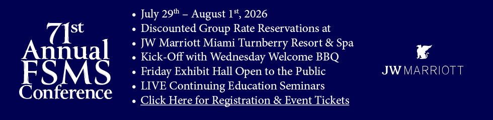
- Conference
- Newsroom
- Resources


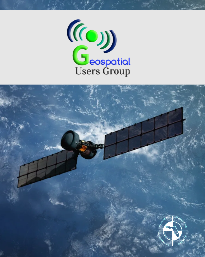
Advancing the Surveying & Mapping Profession for 71 YearsThe Florida Surveying & Mapping Society was originally founded in 1955 as the Florida Society of Professional Land Surveyors.FSMS was organized in order to represent the surveying and mapping profession in Florida and to aid and contribute to the standards of the profession, for the benefit of both the general public and members of the association. FSMS welcomes individuals from across all geospatial-related fields, including: photogrammetry, imagery, remote sensing, base mapping, cartography, geodesy, geomatics, geographic information, geospatial data, GPS, and GIS/LIS. One of our primary goals is to monitor proposed legislation and rule changes that affect the surveying and mapping profession. This is a vital function of our association and one of the many benefits provided to our members, along with frequent communication regarding recent news, advancements, and developments in the profession. Our Society serves as an invaluable professional network on the local, state, and national level. With 19 local chapters located throughout the state, members have the opportunity to meet and engage with individuals who face the same professional challenges that they do. This aspect of our organization fosters relationships and connections that ultimately enhance both the profession and the Society. Geospatial Users Group
Sometimes, extraordinary discoveries happen by sheer accident. Such was the case when Luke Auld-Thomas, a PhD student from Tulane University, stumbled upon an ancient Mayan City while deep in Google search results. ... he uncovered a laser survey from a Mexican organization conducting environmental monitoring. This led to the rediscovery of an ancient Mayan urban center, believed to have been hidden for centuries.
|


Announcements
7 night cruise from New York City to New Port, Rhode Island; Boston; Saint John (Bay of Fundy), Canada; and Halifax (Nova Scotia), Canada on the beautiful Majestic Princess.
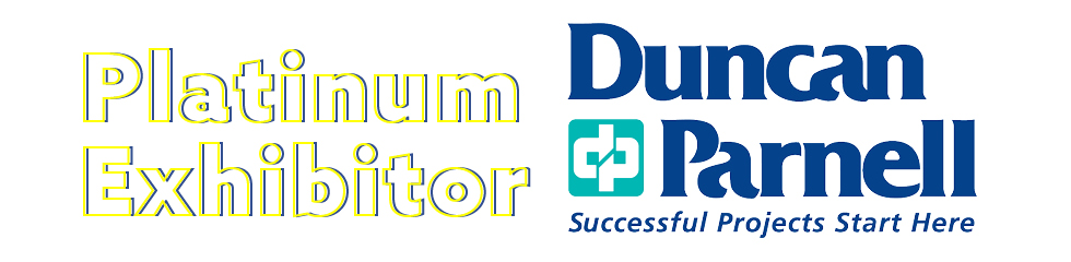
Our Exhibitors/Sponsors


Upcoming Events
Tue Jan 19, 2027(FSMS) - NSPS Certified Floodplain Surveyor (CFS) Training & Certification Program Category: Events |