- Home
- About Us
- Membership
- Education
- FSMPAC
- Sustaining Firms
- Conference
- Newsroom
- Resources
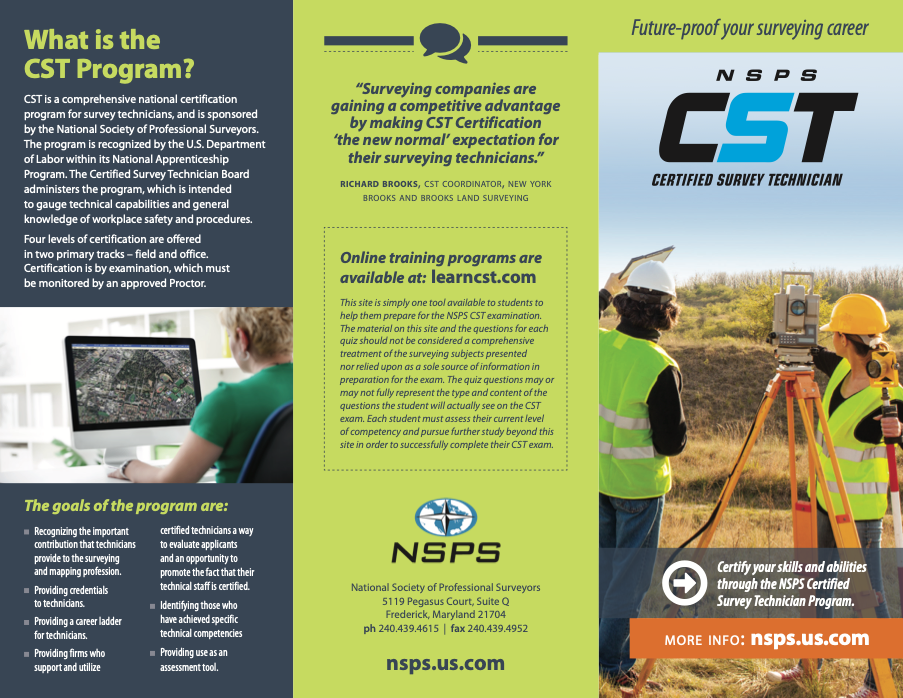
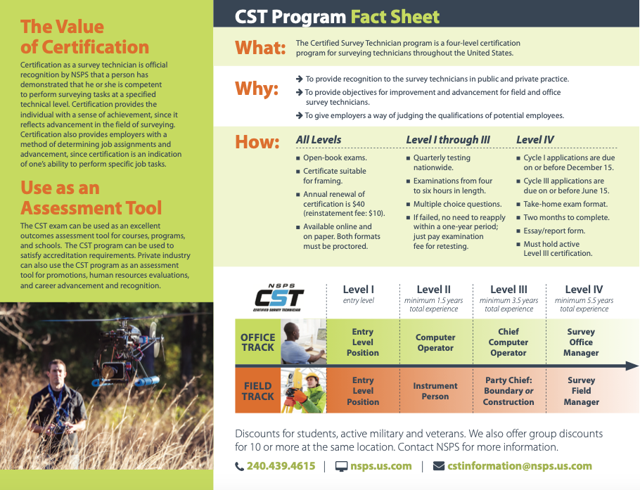
CERTIFICATION PROGRAMSHow Do I Become an Office or Field Technician?CST Website*
*Click on the link above for the NSPS website on Certified Survey Technicians. There is also a tremendous need for field and office technicians in the Surveying and Mapping industry as well as licensed professionals. There are wonderful opportunities for Survey Field Technicians, including job advancement and competitive pay. If you are adventurous and enjoy the outdoors or like computers and have an interest in computer drafting, these are great career paths for you!
GISP® CertificationAn individual must have at least 4 years of professional experience, meet the requirements of the Portfolio Review process, and pass the GISCI Core Technical Exam in order to be awarded the GISP Certification. However, you can start the process at any time in your career! A young professional just graduating from a geospatial program at a university or community college might consider starting the process for a GISP Certification by taking the Exam at or just after graduation. Passing the Exam while your coursework is still fresh and when your testing ability is as good as it will be, would be an excellent way to differentiate yourself to a potential employer as you start a job search. Not only will you have demonstrated a measurable skill level, but your will also provide a strong indication that you are approaching your career as an aspiring geospatial professional! You can take the Exam at any time in your career, and you can also register for free to begin your Portfolio Review profile at any time. Once you pass the Exam, you have up to six (6) years to meet the Portfolio Requirements without having to start the process over. GIS Certification InstituteHow Do I Become a Certified Hydrographer?The NSPS-THSOA Hydrographer Certification Board offers two levels of certification for hydrographers in the United States: Certified Master Hydrographer and Certified Hydrographer. Level 1, Certified Master Hydrographer (CMH), is the highest attainable level. The CMH is fully capable of undertaking and managing hydrographic surveys that meet IHO current standards of S-44 and the more detailed U.S. standards and specifications provided by NOAA or the U.S. Army Corps of Engineers. The CMH must have a theoretical education and foundational background for hydrographer-in-charge and develop specifications, quality control and assurance systems, and respond to the full range of projects. The CMH must also hold the knowledge base to investigate and resolve problematic data, and work with competence across the full spectrum of the hydrographic profession. Level 2, Certified Hydrographer (CH), is intended for hydrographic surveyors who are not currently seeking Level 1 certification or do not meet the educational standards required for Level 1. Level 2 Certified Hydrographers are fully capable of undertaking and managing hydrographic surveys that meet IHO current standards of S-44, and the more detailed U.S. standards and specifications. Level 2 does not require a bachelor's degree, but documented hydrographer education and/or experience must meet the current S-5B Learning Standards. Current NSPS-THSOA Certified Hydrographers will be automatically rolled into Level 2, but the new requirement for Professional Development Hours will apply. NSPS – THSOA CertificationWhat is the Certified Floodplain Manager (CFM) Certification Program?The ASFPM national certified floodplain manager program was established in 1998 to create a baseline testing of professional competence in floodplain management. The program requires passing an exam and then continuing education credits annually to maintain certification. Recognizing training/continuing education/professional development is a keystone of the program, as the floodplain management program is continually evolving and the knowledge and performance of local, state, federal and private-sector floodplain management professionals is ever changing. The role of the nation’s floodplain managers is expanding due to increases in disaster losses, the emphasis on mitigation to alleviate the cycle of damage-rebuild-damage, and a recognized need for professionals to adequately address these issues. This certification program lays the foundation for ensuring that highly qualified individuals are available to meet the challenge of breaking the damage/rebuild cycle on the nation’s human, financial and natural resources. CFM® Certification ProgramWhat is CFedS?CFedS was initially developed from The Fiduciary Trust Model (FTM). The FTM was approved by the Secretary of the Interior in 2004. The FTM was designed to respond to deficiencies in the Department of Interior’s trust responsibilities, and to outline a plan for Indian Trust reform. At this time no direct control will be asserted on the selection of surveyors working in Indian Country, Tribes, BIA, and other federal agencies with land management responsibilities adjoining Indian Trust lands will be strongly encouraged to select surveyors from the CFedS roster. The Certified Federal Surveyor Program (CFedS) is one of four specific action items approved in the cadastral component of that Model. It consists of training and testing packages to be offered to private land surveyors to elevate knowledge and skills for providing cadastral services on trust lands. The Program’s application has been expanded to include boundary work on all federal interest lands. CFedS Website |

